| Difficulty | Distance | Elevation Gain | USFS Trail #'s |
Green Trails Map |
|---|---|---|---|---|
| More Difficult | 1.9 Miles One-way | 1,500 | 677, 13 |
Notes
Great close-up views of Mount Baker once the trail leaves the forest. The upper trail remains in snow for most of the year.
Loading...
Loading directions...
Today's Weather
11:30 AM
38°F
Feels like 28°F
Drizzle
High
43°F
Low
36°F
Rain Chance
98%
Wind
29 mph
Humidity
94%
UV Index
1
Weather data provided by Apple Weather
Weather conditions can change rapidly in mountainous areas. Check current conditions before hiking.
Pass Required
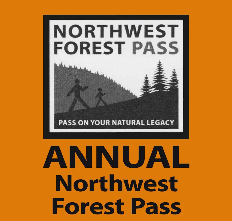
An Essential
Food and Water
Don’t forget to pack some energizing snacks and plenty of water. If you need to treat water, water treatment pills can help, but only boiling water can kill the parasite Giardia.